The Majestic Grampians

Grampians National Park is Victoria’s fourth largest national park and known for its majestic waterfalls, dazzling spring wildflower displays and awe-inspiring mountain panoramas.
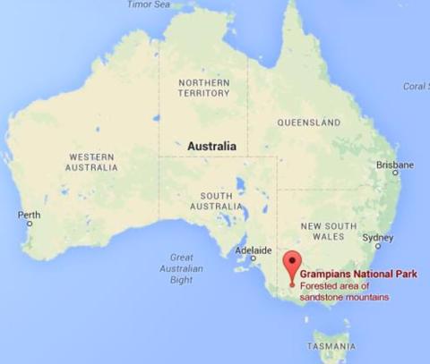
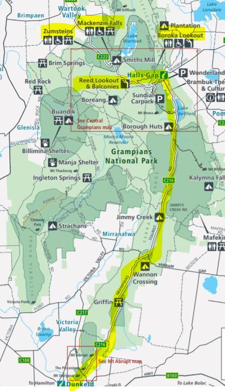
It is located in Western Victoria, a three‐hour (260km) drive from Melbourne or a five‐hour (460km) drive from Adelaide and accessed from the villages of Halls Gap, Wartook and Dunkeld and a scenic day trip from the regional towns of Hamilton, Horsham, Stawell and Ararat.1
The area is known as Gariwerd and is listed on Australia’s National Heritage List for its Aboriginal cultural heritage, fauna and flora diversity, landscapes, and protection of threatened species.
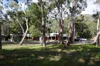
Anne and I spent a few days in November, 2021 exploring this area, which I had not visited before, staying at Wonderland Cottages in Halls Gap.
In fact I was quite close to the Grampians when I toured the Mallee and Wimmera earlier this year. You might like to check out my Mallee Meanderings.
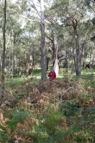
And Wonderland it was, nestled in a wooded valley with a view to an impressive escarpment, where we crossed paths with kangaroos, wallabies, emus and native birds, which Anne will feature in another post.
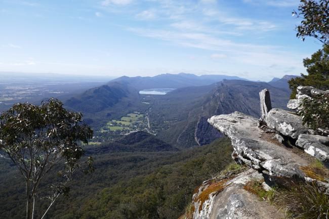
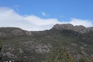
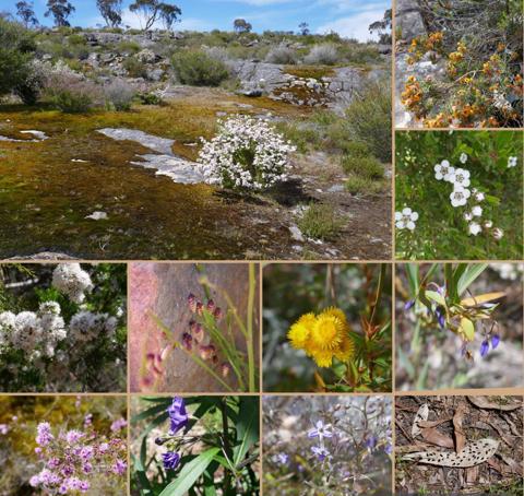
Today’s post will explore the landscape of majestic bluffs, rock formations and sweeping valleys as well as the local flora.
The sandstone ranges of the Grampians began forming approximately 430 million years ago as sediment deposited on the sea floor. Geological processes of pressure, heat, folding, faulting and erosion continue to shape the mountain ranges appearance. This geology is fundamental to soil composition, and has had direct impact on the flora found within the national park.
Gariwerd is home to 1/3rd of all Victorian plant species as the mountains, wooden slopes, heathy valleys and sandy swamp floors provide many ecosystems for this wide variety of plants to thrive and is often referred to as the Garden of Victoria. 1
We spent our days walking to the lookout at Mackenzie Falls, the bushland around Zumsteins, Reed Lookout and The Balconies as well as Boroka Lookout – all providing marvellous vistas of this fabulous landscape.
Share our adventure on this short video, which features our favourite photos.
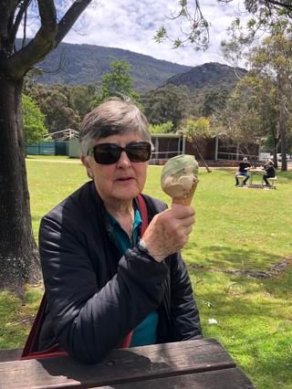
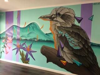
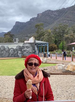
Anne and I enjoyed ice creams in the pretty village of Halls Gap, which is nestled in the valley surrounded by the Grampians. Even the ice cream shop features a wall mural of these mountains with a Kookaburra in pride of place.
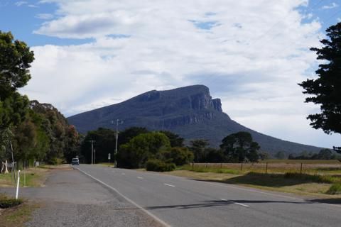
On our way back to Melbourne we took the route south via Dunkeld, vistas of the Grampians at every turn and flanked by steep bluffs on both sides, until we arrived at Mt Sturgeon, the southern most peak. What a picturesque drive.
Tomorrow we celebrate Thanksgiving with our American on-line family. And after this we will return to the Grampians for Anne to showcase the wonderful Australian wildlife we saw during our stay.
Credits
1. parks.vic.gov.au
all images are my own, unless otherwise stated